Loading...
Loading...Please wait...
Loading...
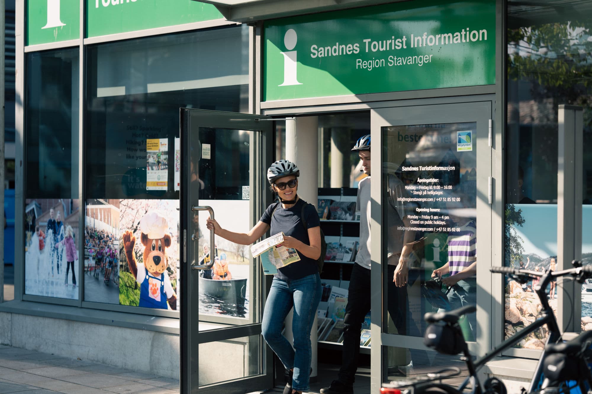
— Sandnes tourist office
Loading...
Loading...
Norwegian Trekking Association
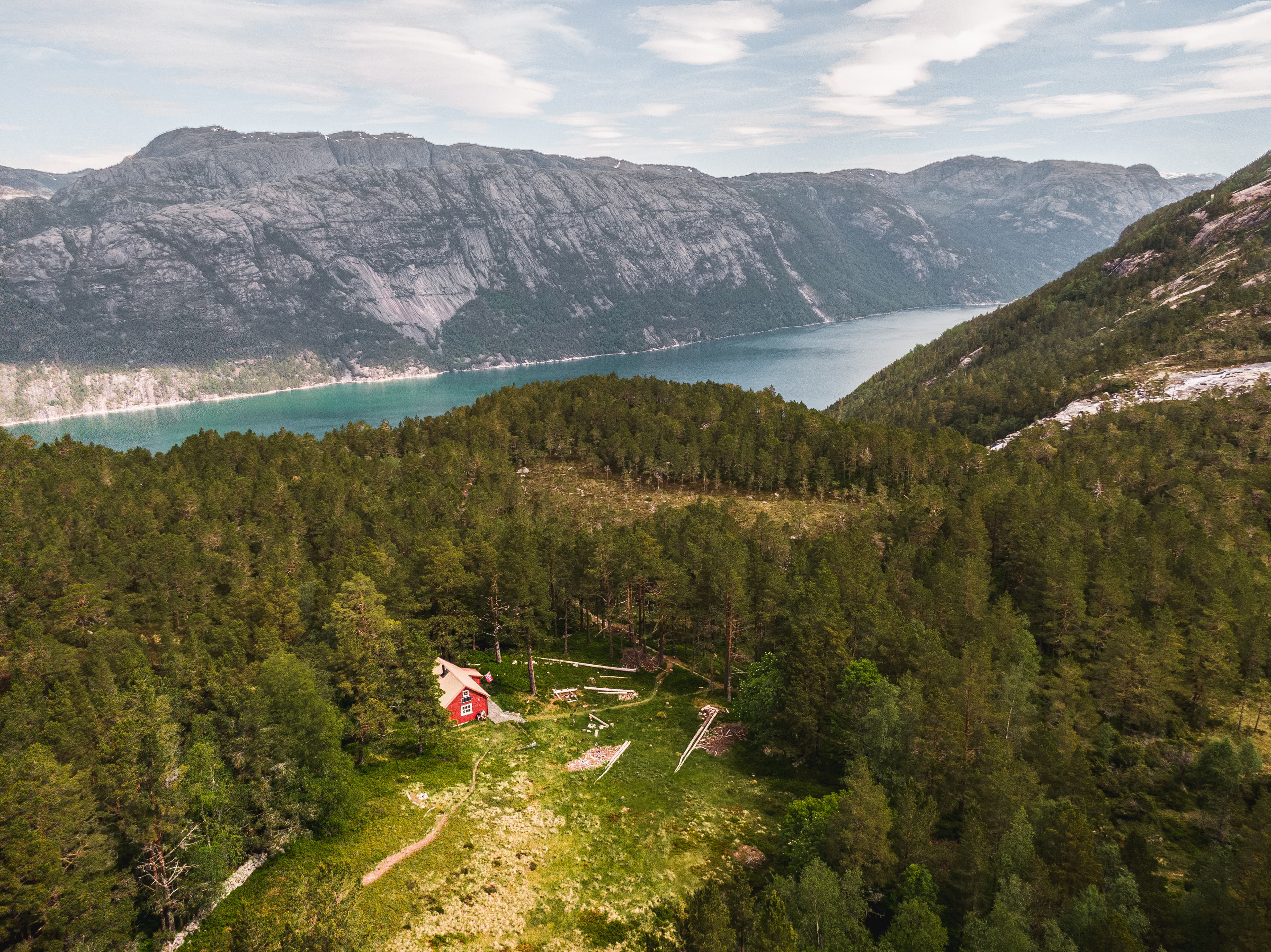
Flørli
Charming Flørlistølen is located in a beautiful forest area above Lysefjorden, a kilometer's walk up from Flørli dock.

Cabin and holiday homes
Flørli
Flørli 4444 has four rental apartments, Flørli Historic Hostel and Special Rooms with shared facilities. All houses and most rooms have a fjord view.
Norwegian Trekking Association
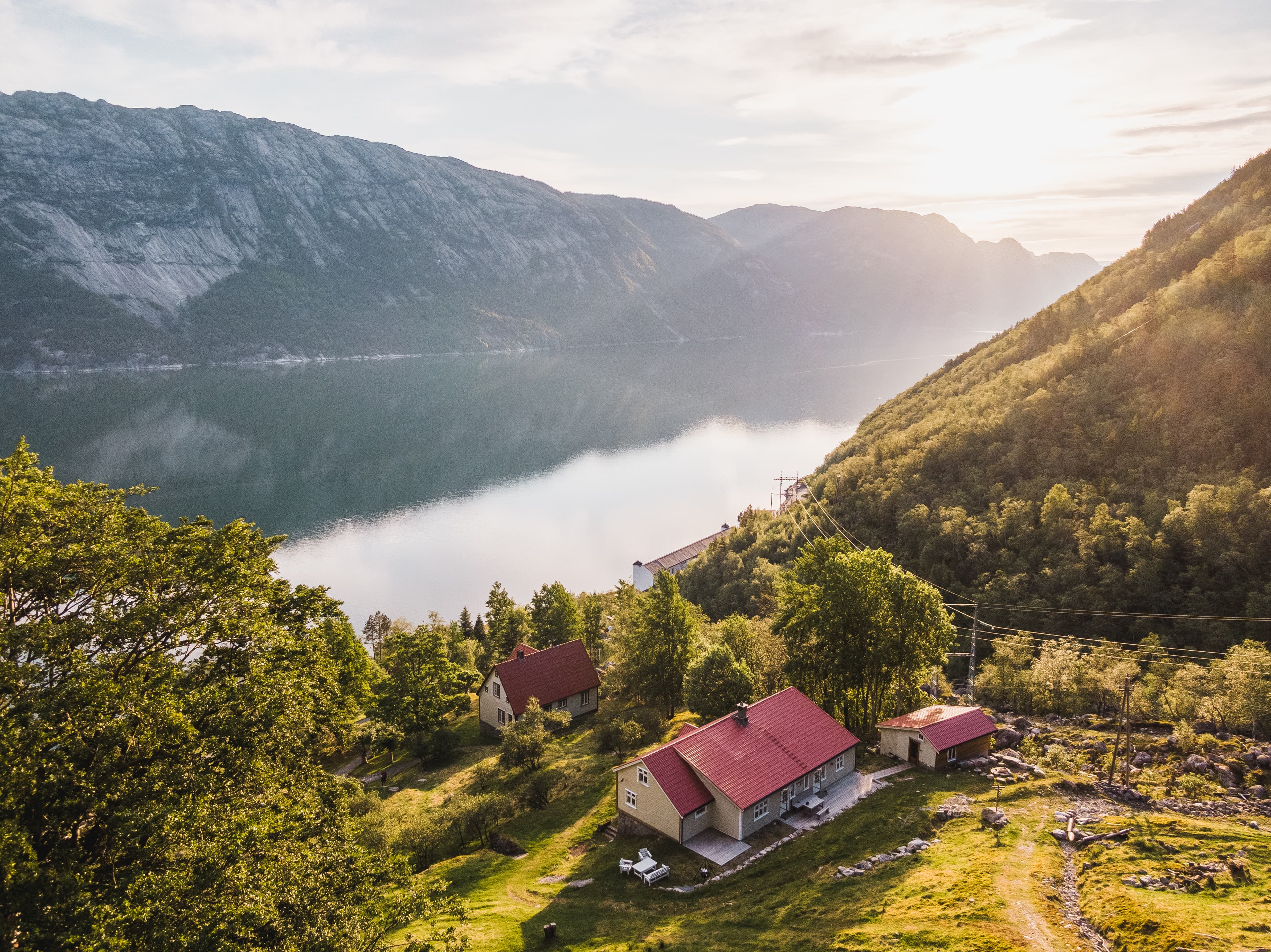
Flørli
Flørli Turiststasjon is a charming and child-friendly tourist cabin in the remote village of Flørli, located halfway along the Lysefjord.
Camping
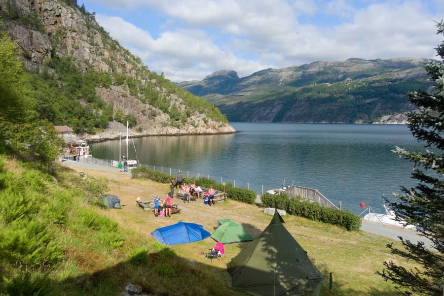
Flørli
You can camp on the flat meadow right next to the Lysefjord! There are toilets and a shower in the historic power station 100m away.
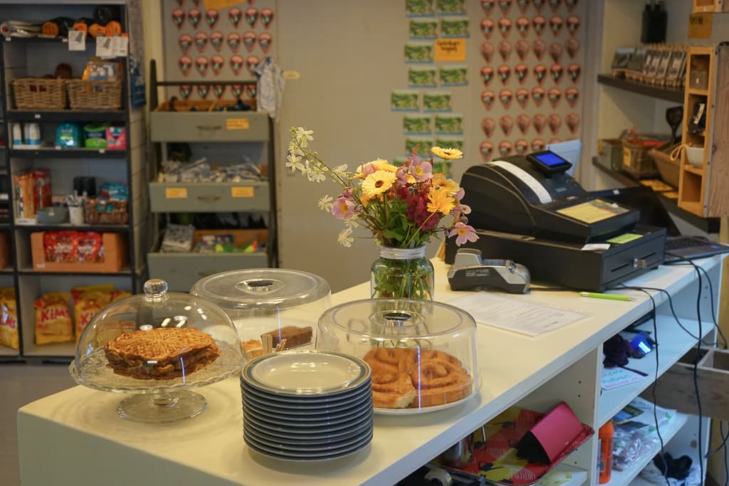
Cafés and bakeries
Flørli
Kraft Kafé & Kiosk in Flørli i Lysefjorden is an intimate and original café serving coffee, cakes, waffles, lunch and traditional Norwegian dinner.